In an excellent article in The Land Simon Fairlie describes how the progressive enclosure of commons over several centuries has deprived most of the British people of access to agricultural land. The historical process bears little relationship to the “Tragedy of the Commons”, the theory which ideologues in the neoliberal era adopted as part of a smear campaign against common property institutions.
Over the course of a few hundred years, much of Britain's land has been privatized — that is to say taken out of some form of collective ownership and management and handed over to individuals. Currently, in our "property-owning democracy", nearly half the country is owned by 40,000 land millionaires, or 0.06 per cent of the population,1 while most of the rest of us spend half our working lives paying off the debt on a patch of land barely large enough to accommodate a dwelling and a washing line. Read More.
Monday, 28 October 2013
Ancient Trees in Sheringham Park
One of a series of short films by the National Trust, the clip below discusses evidence for ancient woodland in Sheringham Park, North Norfolk.
Class 6: A Curse Upon the Land
The slides for Class 6: Parliamentary Enclosure, a Curse Upon the Land, are available for download from here.
Monday, 21 October 2013
Laxton Maps at the University of Nottingham
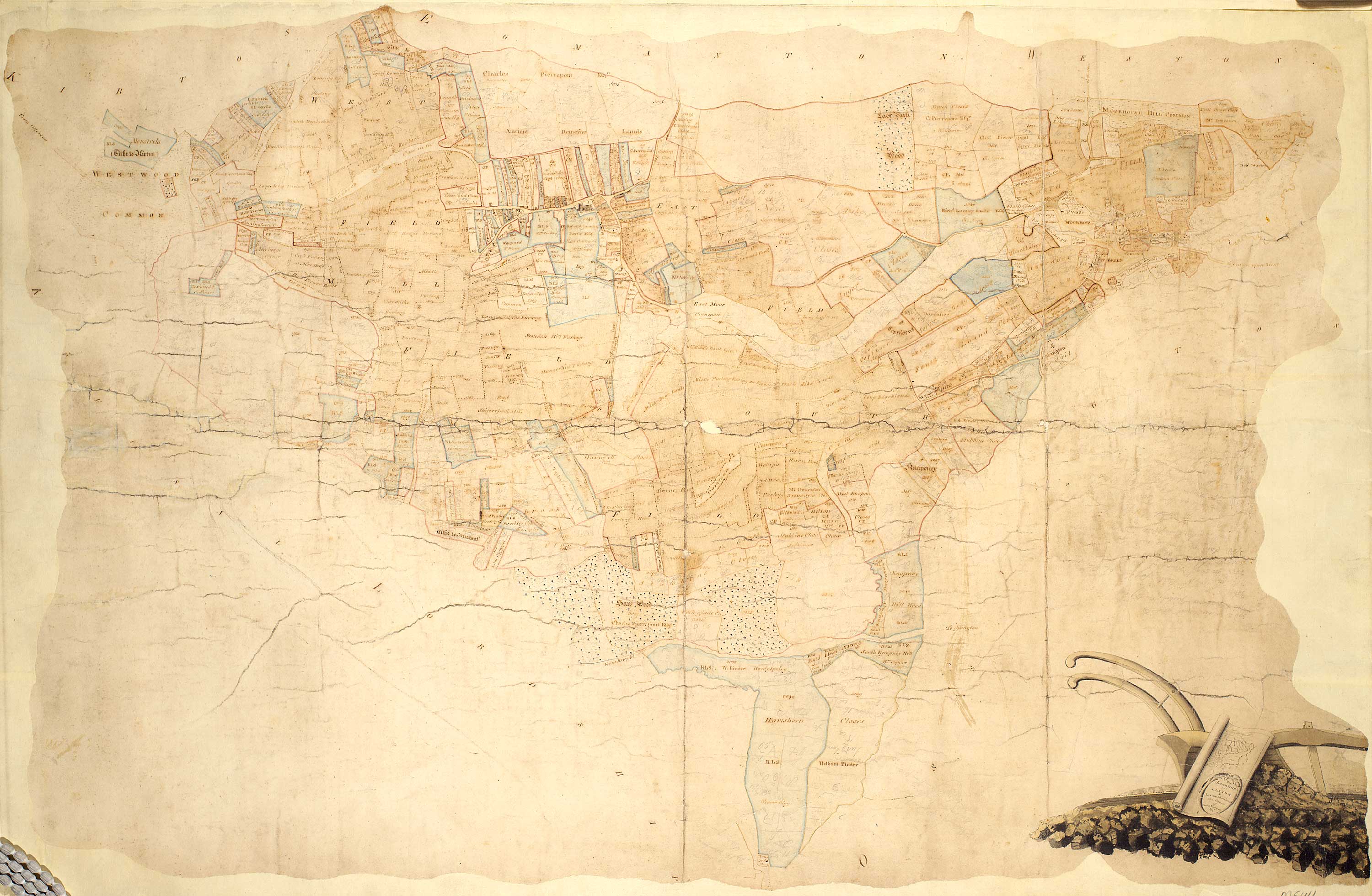
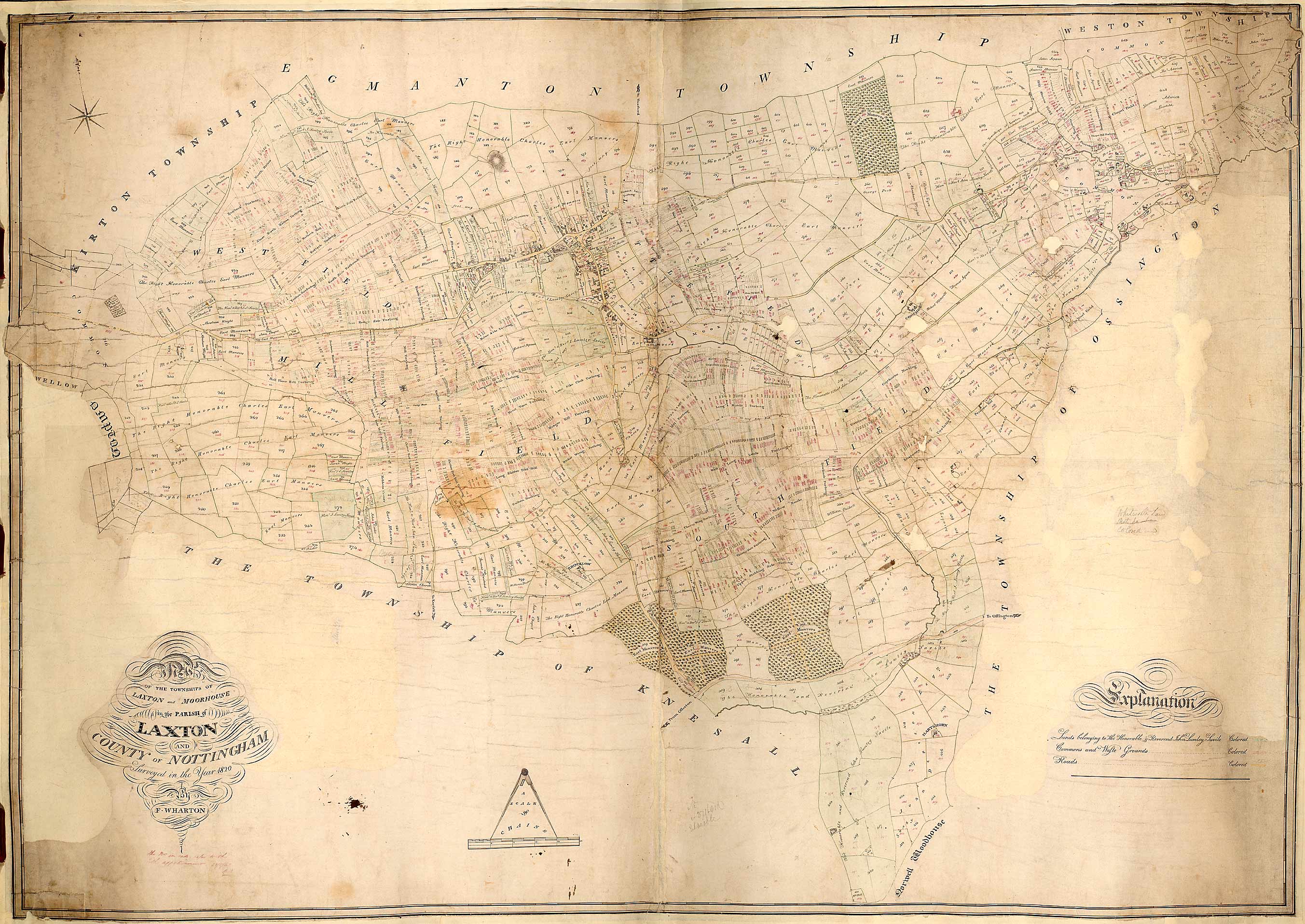
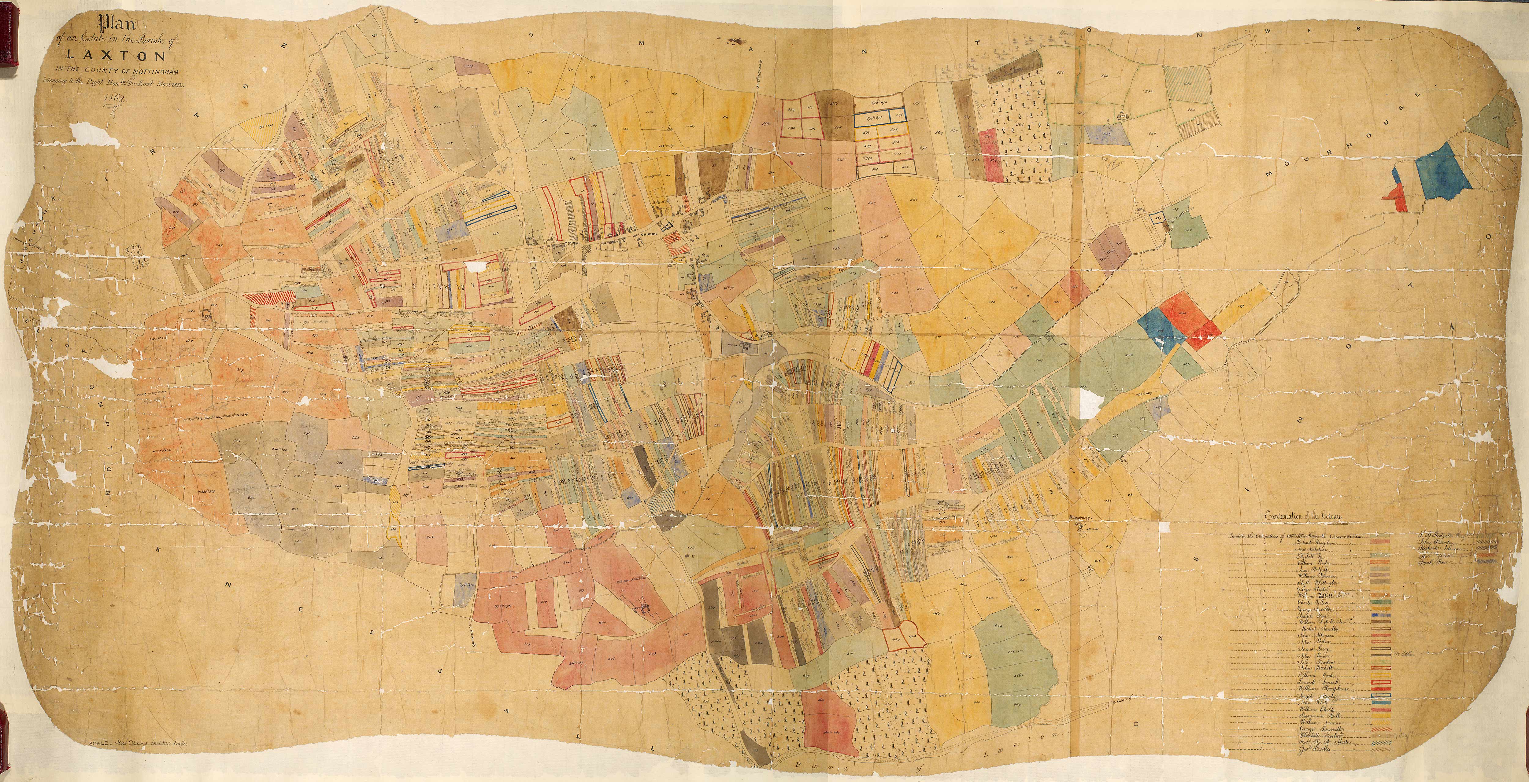
The Department of Manuscripts and Special Collections at Nottingham University Library holds a large collection of material relating to Laxton, including many maps. Here are three fine maps spanning the 18th and 19th centuries, reproduced on their Laxton focused web-based collection of primary materials.
Hand-drawn and coloured map of the lordship of Laxton and Laxton Moorhouse, 1789
Hand-drawn map of the parish of Laxton, 1820
Hand-drawn and coloured plan of Earl Manvers’ estate in Laxton, 1862
Map Regression Exercise
Map Regression is an important tool for exploring and understanding the development of landscape. Laxton is fortunate in having a wealth of historic mapping, allowing analysis of landscape change and development at a high resolution.
You can compare two of the principal sources of mapping that of Mark Pierce (1635) and George Sanderson (1835) using the interactive maps on this website.
Map Regression Exercise
Using the historic mapping of Laxton provided below trace the development of either Town End Farm or Church Farm.

Your aim is to understand the origin and antiquity of features of the modern landscape – so aim to produce a map of the present farm that demonstrates these two based on you map analysis. You might care to visit the English Heritage website to investigate the context for such analysis of historic farms.
You can compare two of the principal sources of mapping that of Mark Pierce (1635) and George Sanderson (1835) using the interactive maps on this website.
Map Regression Exercise
Using the historic mapping of Laxton provided below trace the development of either Town End Farm or Church Farm.
Your aim is to understand the origin and antiquity of features of the modern landscape – so aim to produce a map of the present farm that demonstrates these two based on you map analysis. You might care to visit the English Heritage website to investigate the context for such analysis of historic farms.
Subscribe to:
Posts (Atom)